
© 2026 Made for Planet • Privacy Policy • Terms & Conditions
Platform by Mission Sustainability
Related to “Satellite imagery”
7 results

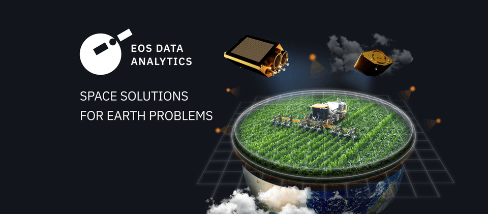
EOS Data Analytics
Mountain View, California, United States
EOS Data Analytics (EOSDA) is a global provider of AI-powered satellite imagery analytics . The company operates worldwide, partnering with governmental, commercial, and scientific organizations. They provides Earth observation solutions for smart decision-making in agriculture and forestry. EOSDA combines data retrieved from satellite imagery with AI technologies and proprietary algorithms to analyze the state of crops within farms and trees growing in forest stands to drive businesses and implement sustainable practices globally. The EOSDA’s mission is to harness the power of satellite technologies to provide businesses with fast and accurate data-driven decisions.
Geosite
Santa Fe, New Mexico, United States
Geosite was founded in 2018 and headquartered in Palo Alto, Geosite specializes in providing geospatial intelligence solutions through its SaaS platform. The company sources, visualizes, and analyzes geospatial data from satellites, drones, aerial imaging, and IoT devices. Primarily serving the property and casualty insurance sectors, Geosite enables businesses to make critical, data-informed decisions by integrating diverse data types into a unified platform. The company’s solutions allow users to visualize and assess geospatial information in real-time, improving operational efficiency and risk management. Geosite was acquired by Descartes Labs in April 2024, enhancing its capabilities and reach. With a focus on providing actionable insights for decision-makers, Geosite stands out for its expertise in geospatial data integration and analysis
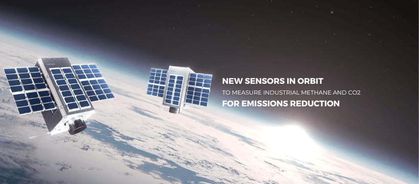
GHGSat
Montreal, Quebec, Canada
GHGSat is a Canadian company specializing in satellite-based monitoring of greenhouse gas emissions, particularly methane. Established in 2011, it provides high-resolution, facility-specific data to industries, governments, and environmental agencies. By detecting emissions from sources like oil wells, landfills, and industrial facilities, GHGSat enables stakeholders to identify and address emission leaks in real-time, making it easier to mitigate environmental impacts. The company launched its first satellite, Claire, in 2016 and has since expanded its fleet. GHGSat’s technology can detect emissions from space, offering data services that can be used for regulatory compliance, environmental reporting, and carbon market validation. Its online platform allows clients to track emission trends over time, supporting global efforts to combat climate change. By providing transparent, independent data, GHGSat helps improve operational efficiency, reduce emissions, and support the global transition to a low-carbon economy.

PVMaster
Australia
PVMaster is a renewable energy company that offers advanced power forecasting and asset management solutions for solar and wind farms. Founded in 2016 by Dr. Zi Ouyang and Yang Li, both renowned researchers from UNSW Sydney, the company’s proprietary technology, "PVMaster Power Forecast," uses artificial intelligence and satellite imaging to deliver highly accurate short-term weather forecasts. This allows solar farms to better predict their energy output, reduce costs associated with frequency control services (FCAS), and enhance profitability by optimizing energy production. By improving forecast accuracy, PVMaster enables more renewable energy to be connected to the grid, helping solar and wind farms operate more efficiently in real-time conditions. The company is supported by clean-tech accelerators like EnergyLab, which focus on overcoming regulatory and financial barriers to renewable energy adoption.
Global Fishing Watch
Washington, United States
Global Fishing Watch is a nonprofit organization committed to advancing ocean sustainability through transparency in global fishing activities. By combining satellite technology, machine learning, and big data analytics, it tracks and visualizes fishing operations worldwide. This data is made publicly accessible via its online platform, enabling users to monitor fishing activities, detect illegal practices, and better understand marine resource exploitation. Governments, researchers, and conservation organizations use this information to enforce fishing regulations, design marine protected areas, and combat overfishing. The organization also collaborates with global partners to support sustainable marine practices and enhance marine biodiversity. Its tools empower decision-makers with actionable insights, helping to address the challenges of illegal, unreported, and unregulated fishing. By promoting transparency and data-sharing, Global Fishing Watch aims to protect ocean ecosystems for future generations while fostering accountability in fisheries management and supporting sustainable livelihoods for coastal communities.

Floodbase
New York, New York, United States
Floodbase, formerly known as Cloud to Street, is a leading provider of real-time flood monitoring and analytics solutions. Utilizing satellite imagery and advanced AI, the company tracks and analyzes floods worldwide, delivering critical insights to governments, organizations, and insurers. Floodbase's innovative platform enables accurate flood mapping and risk assessment, which are crucial for effective disaster response, climate resilience planning, and insurance underwriting. By offering actionable data, Floodbase empowers communities to prepare for, mitigate, and recover from flood events more efficiently. Their technology is particularly valuable in underserved regions, where traditional flood monitoring infrastructure may be lacking. Floodbase’s mission is to address the growing challenges of climate change by improving global flood resilience and reducing the devastating impacts of floods on lives and economies. Through their groundbreaking work, Floodbase has established itself as a vital partner in tackling one of the world's most pressing environmental threats.

